- 35660, Izmir, Turkey
- +90 (532) 462 20 35
Type above and press Enter to search. Press Close to cancel.
Type above and press Enter to search. Press Close to cancel.

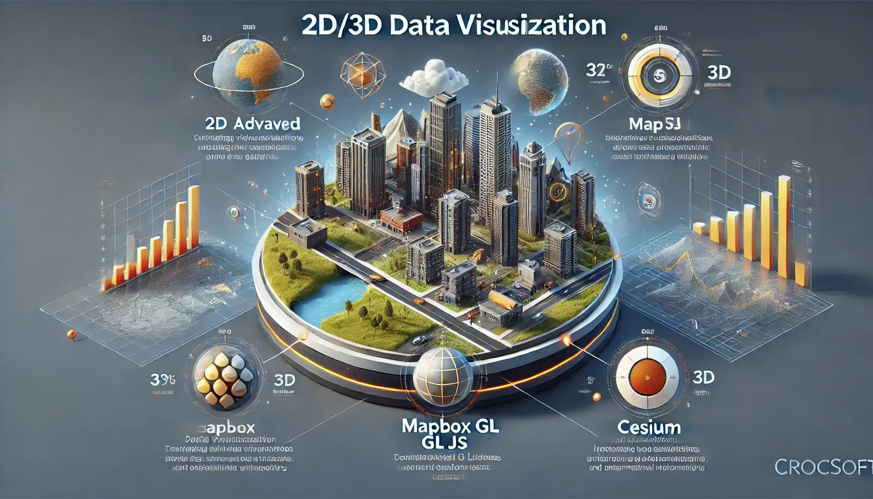
At Crocsoft, we specialize in transforming complex geospatial data into rich and interactive 2D and 3D visualizations. Using powerful platforms like ESRI, Mapbox GL JS, and Cesium, we enable clients to explore and analyze spatial data with high levels of detail and realism. Whether you are navigating virtual cityscapes, analyzing infrastructure projects, or visualizing environmental changes, our visualization services bring your data to life.
Our visualizations are not only visually stunning but also functionally robust, making them ideal for industries such as urban planning, architecture, environmental monitoring, and historical preservation. By creating immersive environments, we allow users to interact with data in new and meaningful ways, ensuring deeper insights and informed decision-making.
Our approach to 2D and 3D data visualization is designed to provide a seamless, interactive experience across multiple platforms:
Platform Expertise:
Interactive 3D Exploration Using GLB Files:
Our 3D visualizations are enhanced with GLB files, which allow users to navigate through scenes as if they were interacting with a game. Whether you need to visualize a new building, inspect terrain features, or examine infrastructure in detail, we make it possible to explore these models from multiple angles.
We use platforms like Cesium and Mapbox GL JS to render 3D models with high precision. Users can walk through, zoom in, or fly over virtual environments, making the visualization experience immersive and intuitive.
Real-World Textures and Patterns:
Our visualizations go beyond displaying data by applying real-world textures and patterns to make buildings, roads, and natural landscapes as authentic as possible. For urban environments, we use realistic building facades, road textures, and vegetation patterns that reflect actual conditions.
This detailed application of textures not only improves the aesthetic quality of the visualizations but also enhances the clarity and accuracy of spatial data interpretation, making it ideal for urban planning, architectural design, and environmental monitoring.
Historical and Demolished Structure Reconstruction:
One of our most unique offerings is the reconstruction of historical or demolished structures. By using archived maps, photographs, and architectural plans, we bring these structures back to life in a digital format. Our 3D reconstructions allow users to "walk through" historical environments, offering a valuable tool for conservationists, urban developers, and historians.
These reconstructions are immersive and interactive, providing a virtual experience of historical sites as they existed before they were altered or demolished.
Material Simulation and Texture Application:
We apply real-world materials like stone, metal, wood, and glass to our 3D models, ensuring that every structure reflects its true physical characteristics. These textures add depth and realism to our visualizations, making them ideal for stakeholders who need detailed insight into material composition, whether for architectural design, construction planning, or heritage preservation.
At Crocsoft, we recognize that every project has unique visualization needs. That’s why we offer fully customized 2D and 3D visualization solutions tailored to fit your project’s goals and requirements. From visualizing a single building to modeling an entire urban landscape, we work closely with you to develop solutions that are as detailed or expansive as your project demands.
Some of the custom features we provide include:
We offer ongoing support and maintenance to ensure your 2D/3D visualizations continue to perform optimally. Our support services include:
Our pricing models are flexible and tailored to the scale and complexity of your visualization project. Whether you need a small-scale 2D map or a large-scale 3D virtual environment, we offer competitive pricing that aligns with your budget and goals.
We provide:
We work closely with our clients to develop a package that best fits their needs, ensuring both value and quality in every project.
At Crocsoft, we believe that clear communication and collaboration are essential to delivering successful projects. Throughout the entire process, we maintain regular updates and offer feedback loops to ensure your vision aligns with the final product.
Our visualizations are compatible with all major GIS platforms, including ArcGIS, QGIS, Mapbox, and Cesium. We ensure that your data integrates seamlessly into your existing systems, enabling continued use and updates over time.
Additionally, our team stays current with the latest advancements in 2D and 3D visualization technology, ensuring that your project benefits from cutting-edge tools and methodologies.
At Crocsoft, we go beyond simply displaying geospatial data—we create immersive experiences that bring your data to life. Whether you're visualizing new urban developments, reconstructing historical sites, or managing infrastructure projects, our 2D and 3D data visualization solutions provide the clarity, realism, and interactivity you need to make informed decisions.
Contact us today to discuss how we can turn your spatial data into engaging and interactive visualizations that exceed expectations.
This detailed overview showcases Crocsoft's expertise in 2D/3D data visualization, highlighting the immersive technologies and industry-specific solutions we provide. Let us know if you'd like any adjustments!
