- 35660, Izmir, Turkey
- +90 (532) 462 20 35
Type above and press Enter to search. Press Close to cancel.
Type above and press Enter to search. Press Close to cancel.

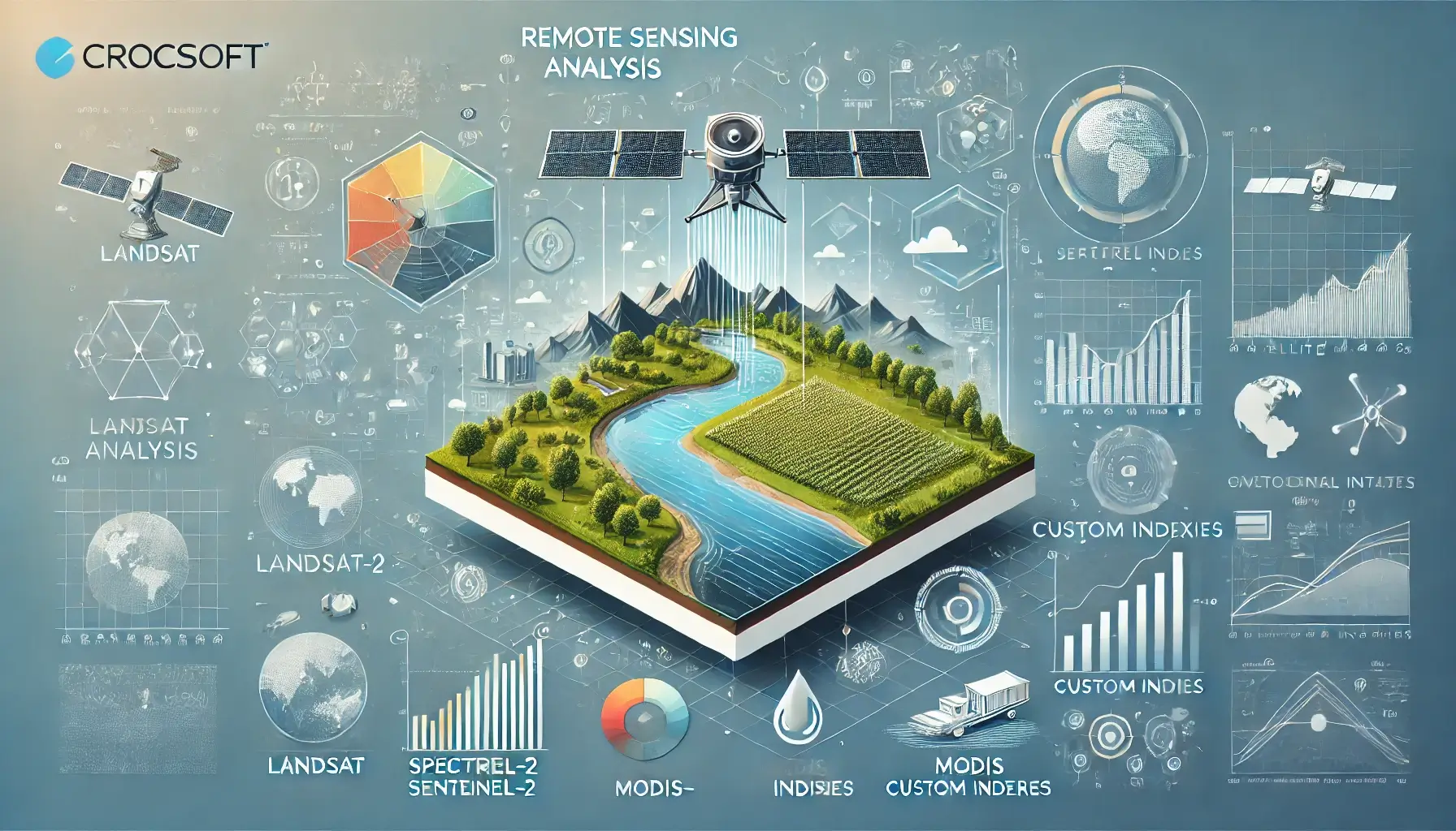
At Crocsoft, we provide advanced remote sensing analysis services, leveraging cutting-edge satellite imagery and geospatial technology to offer precise, actionable insights for a range of industries. Whether you're monitoring vegetation health, tracking urban growth, or managing water resources, we deliver detailed analyses that support decision-making across agriculture, environmental monitoring, urban planning, and more.
Our expertise spans multiple satellite platforms, including Landsat, Sentinel-2, MODIS, and WorldView-3, offering both multispectral and hyperspectral imagery. By utilizing various spectral bands, our team is capable of conducting complex analyses using indices such as NDVI, NDWI, NDBI, and custom indices tailored to specific project needs.
Our approach to remote sensing analysis is methodical and designed to ensure both accuracy and scalability for projects of all sizes. The steps below outline our process:
Data Collection and Preprocessing:
We begin by acquiring satellite imagery from trusted platforms like Landsat, Sentinel-2, and MODIS. These platforms provide a range of spatial resolutions, from high-resolution imagery suitable for detailed local analysis to low-resolution data ideal for large-scale environmental monitoring.
Once the data is collected, we perform essential preprocessing tasks such as:
Spectral Analysis and Index Calculations:
Remote sensing analysis relies heavily on spectral indices, which help to quantify various environmental conditions using specific wavelengths of light. We calculate a variety of indices based on the needs of your project:
NDVI (Normalized Difference Vegetation Index):
[
\text{NDVI} = \frac{(NIR - Red)}{(NIR + Red)}
]
Used for assessing vegetation health, NDVI is a powerful tool for agriculture, forestry, and land-use monitoring.
NDWI (Normalized Difference Water Index):
[
\text{NDWI} = \frac{(Green - NIR)}{(Green + NIR)}
]
Ideal for monitoring water bodies and detecting changes in water levels.
NDBI (Normalized Difference Built-Up Index):
[
\text{NDBI} = \frac{(SWIR - NIR)}{(SWIR + NIR)}
]
Used to detect urban sprawl and built-up areas, making it critical for urban development projects.
SAVI (Soil Adjusted Vegetation Index):
[
\text{SAVI} = \frac{(NIR - Red)}{(NIR + Red + L)} \times (1 + L)
]
Where L is a constant to minimize soil background noise, making it ideal for dry or semi-arid regions.
These indices allow us to derive key insights into vegetation health, water distribution, urban development, and more, helping industries optimize their operations and make informed decisions.
Advanced Geospatial Analysis:
Beyond traditional index calculations, Crocsoft specializes in advanced geospatial analysis techniques that provide even deeper insights. For instance:
Data Visualization and Reporting:
Our findings are presented through clear and intuitive data visualizations using platforms such as QGIS, ArcGIS, and Mapbox. These visualizations make complex spatial data accessible, allowing decision-makers to interpret insights quickly and accurately.
At Crocsoft, we understand that each project has unique requirements, and our remote sensing services are fully customizable. Whether you're monitoring crop health, assessing water resources, or analyzing urban growth, we tailor our solutions to fit your project’s specific needs.
Our custom services include:
Our partnership doesn't end with the delivery of analysis results. We offer long-term support and maintenance to ensure your remote sensing systems continue to function effectively. This includes updating datasets, refining analysis methods, and providing ongoing technical support to meet your evolving needs.
Our pricing models are designed to be flexible and adaptable to your project's scope and complexity. Whether you require a one-time analysis or ongoing monitoring, we offer competitive packages that are tailored to your budget and objectives.
We work closely with our clients to develop a package that best suits their needs, ensuring value and quality throughout the project lifecycle.
At Crocsoft, we place great emphasis on collaboration with our clients. We believe that clear and transparent communication is key to delivering successful remote sensing projects. Throughout the process, we provide regular progress updates, and encourage client feedback to ensure that the project aligns with your vision.
Our remote sensing solutions are compatible with all major GIS platforms and tools, including ArcGIS, QGIS, and Mapbox. We ensure that your data integrates seamlessly into your existing systems, enabling easy access and continued analysis.
Furthermore, our team stays up-to-date with the latest developments in remote sensing technology. This means that your project will benefit from the newest advancements in satellite platforms, imagery processing, and geospatial analysis.
At Crocsoft, we combine technical expertise with cutting-edge remote sensing technology to deliver accurate and actionable geospatial insights. Whether you're monitoring vegetation, tracking urban growth, or managing water resources, our remote sensing analysis solutions help you make informed decisions that drive success.
Contact us today to learn how our remote sensing services can elevate your project to new heights.
This comprehensive overview showcases Crocsoft's expertise in remote sensing analysis, highlighting our ability to offer custom solutions, advanced indices, and flexible pricing options. Let us know if you need further adjustments!
