- 35660, Izmir, Turkey
- +90 (532) 462 20 35
Type above and press Enter to search. Press Close to cancel.
Type above and press Enter to search. Press Close to cancel.

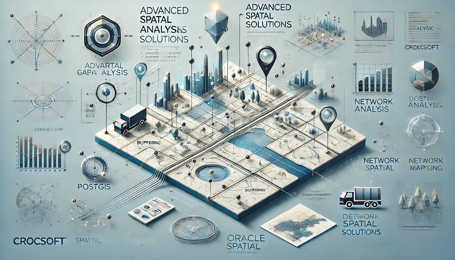
At Crocsoft, we offer advanced spatial analysis solutions that leverage cutting-edge geospatial technologies and methodologies to transform complex data into actionable insights. Our expertise spans across a variety of industries, including urban planning, environmental monitoring, transportation, and logistics. By using industry-leading spatial databases like PostGIS and Oracle Spatial, we can conduct a wide range of spatial queries and analyses, enabling businesses to make informed decisions based on location-based data.
Our spatial analysis services cover everything from basic spatial querying to advanced geospatial modeling, ensuring you have the data-driven insights needed to solve real-world problems.
Our approach to spatial analysis is designed to ensure accuracy, efficiency, and customization for each project. Below is a breakdown of our key processes:
Data Collection and Preparation:
We begin by collecting geospatial data from various sources, whether it’s satellite imagery, aerial photography, or ground-based surveys. Once the data is gathered, we clean, filter, and prepare it for analysis. This involves georeferencing, attribute correction, and format conversion to ensure that the data is accurate and ready for use.
Spatial Queries and Analysis:
We utilize powerful tools such as PostGIS and Oracle Spatial to perform spatial queries and analyses. These platforms enable us to handle complex geospatial operations such as:
Data Visualization:
After conducting spatial analyses, we ensure that the results are presented in a visually compelling way using platforms such as Mapbox, ArcGIS, and QGIS. These visualizations help stakeholders understand complex spatial relationships and patterns, facilitating better decision-making.
Continuous Optimization:
Our team continuously optimizes the spatial analysis process, ensuring that data processing and querying are conducted as efficiently as possible. By leveraging spatial indexing and performance tuning techniques, we provide rapid results even when working with large datasets.
At Crocsoft, we understand that every spatial analysis project is unique, requiring tailored solutions that meet the specific needs of our clients. Whether you're looking to analyze urban growth patterns, optimize transportation routes, or assess environmental impact, we offer customized spatial analysis services that are designed to fit your project’s objectives.
Some of the custom solutions we provide include:
Our commitment to your success doesn’t end with the delivery of spatial analysis results. We provide comprehensive support and maintenance to ensure that your spatial systems remain efficient, accurate, and up-to-date. Whether it's optimizing spatial databases, updating analysis methodologies, or incorporating new datasets, we offer ongoing services to keep your spatial projects running smoothly.
Our pricing is designed to be flexible, depending on the size and complexity of your spatial analysis needs. From small-scale studies to large, data-intensive projects, we offer customized pricing packages that align with your project goals and budget.
Although SEO may not directly apply to spatial analysis, we ensure that all of our GIS platforms and tools are performance-optimized. This ensures fast query execution, efficient data processing, and seamless integration into your existing systems, enabling you to derive insights without delays.
At Crocsoft, we believe that close collaboration with our clients is key to delivering successful spatial analysis solutions. Throughout the project, we maintain transparent communication, providing regular updates, progress reports, and opportunities for feedback. This collaborative approach ensures that the final product aligns with your expectations and objectives.
We stay at the forefront of geospatial technology to ensure that our spatial analysis solutions remain compatible with the latest platforms and databases. Our team is continuously updating our tools and methodologies to integrate new capabilities, ensuring that your spatial projects benefit from the most up-to-date technology.
At Crocsoft, we offer end-to-end spatial analysis solutions that help you make better decisions using location-based data. From the initial data collection and query execution to the final visualization, we provide comprehensive services that are designed to meet your unique needs. Contact us today to learn more about how our spatial analysis services can help you achieve your project goals.
This write-up highlights Crocsoft's advanced capabilities in spatial analysis, utilizing platforms like PostGIS and Oracle Spatial to deliver actionable insights through custom, tailored solutions. Let me know if you'd like any additional refinements!
