- 35660, Izmir, Turkey
- +90 (532) 462 20 35
Type above and press Enter to search. Press Close to cancel.
Type above and press Enter to search. Press Close to cancel.

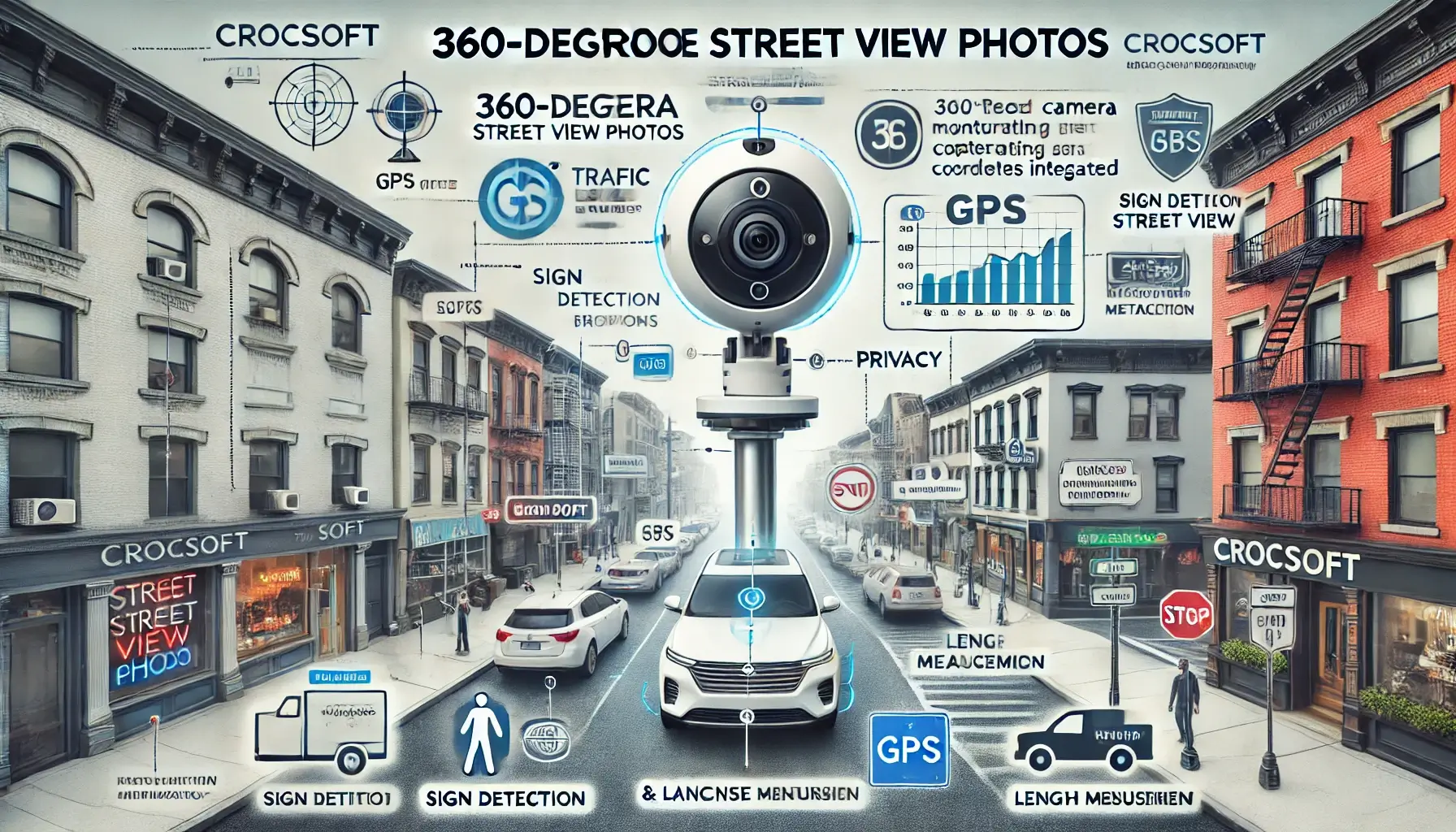
At Crocsoft, we specialize in capturing and processing 360-degree street view photos that are fully integrated with GPS coordinates. These high-resolution, immersive images provide a complete visual representation of streets and urban areas, enabling detailed analysis for various applications, from city planning to traffic management. Our 360-degree street view services are designed to help clients gather accurate, geo-referenced visual data for comprehensive analysis and decision-making.
Our expertise extends beyond just capturing images; we provide advanced tools for analyzing these visuals, including length measurement, sign detection, brand analysis, and traffic sign recognition. With additional privacy features like face and license plate blurring, we ensure compliance with privacy regulations while delivering powerful visual data.
Our 360-degree street view photo services are powered by cutting-edge technology designed to capture, process, and analyze visual data with precision and efficiency. The main technologies we employ include:
Our street view photo collection process is designed to be efficient and thorough, ensuring that all visual data is captured accurately and processed for immediate use. Here’s a step-by-step overview of how we work:
Planning and Route Mapping:
Before data collection begins, we work with our clients to define the areas of interest and map out the routes where the 360-degree photos will be captured. We ensure that all key areas, such as commercial zones, residential neighborhoods, and main roads, are included in the data collection plan.
Field Data Collection:
Our team drives along the predefined routes with specialized 360-degree cameras mounted on vehicles. Each camera captures high-resolution panoramic images at regular intervals, all of which are automatically tagged with GPS coordinates for accurate mapping.
Image Processing and Analysis:
After the images are captured, they are uploaded to our processing system where:
Data Integration:
The processed images and their associated data are then integrated into GIS systems, where they can be used for various applications, such as urban planning, traffic management, and infrastructure analysis.
Analysis and Reporting:
Finally, the collected data is made available to our clients through custom dashboards and reports, allowing for further analysis and decision-making. Length measurements can be taken directly from the images, and detailed reports on signage and branding can be generated for businesses and municipalities.
Our 360-degree street view photos have a wide range of applications, providing valuable insights across various industries. Here are some of the key use cases:
Urban Planning and Infrastructure Management:
City planners can use our street view photos to assess infrastructure conditions, plan for new developments, and identify areas that need improvement or maintenance.
Traffic Sign and Road Analysis:
Traffic sign recognition is an essential part of traffic management. Our photos allow for accurate detection and analysis of road signs, which can be used to improve traffic flow and public safety.
Brand and Business Analysis:
Retailers and brands can use street view images to monitor storefront visibility, signage, and brand placement. This data helps businesses understand how their locations are perceived by the public and adjust their marketing strategies accordingly.
Mapping and Navigation Services:
Our GPS-tagged images are integrated into mapping systems for use in navigation apps, helping users navigate more effectively with detailed, up-to-date street views.
Public Safety and Emergency Response:
Detailed street view photos are valuable tools for emergency response teams, who can use them to assess areas quickly and plan efficient routes during emergencies.
At Crocsoft, we recognize that every project has unique needs, which is why we offer fully customizable 360-degree street view photo services. Whether you need detailed coverage of specific areas or require specialized analysis, we provide flexible solutions that adapt to your requirements.
Our support and maintenance services ensure that the data collected is always accurate, up-to-date, and ready for analysis. We offer:
Our pricing models are designed to be flexible, ensuring that we can meet the needs of projects of any size. Whether you're looking for a one-time data collection or ongoing updates, we offer competitive packages based on the scope of the project.
We believe in maintaining open communication throughout the entire project lifecycle. From planning and data collection to analysis and reporting, we keep our clients informed and ensure that the project meets their expectations.
At Crocsoft, we take privacy and compliance seriously. Our street view photos adhere to all relevant laws and regulations, ensuring that individuals' privacy is protected through automatic blurring of faces and license plates. Additionally, we follow industry best practices for data security and ethical data collection, making sure that our services meet the highest standards.
At Crocsoft, we provide end-to-end 360-degree street view photo services, from data collection to analysis and integration into GIS systems. Whether you need high-resolution images for urban planning, traffic management, or business analysis, our services offer the precision, flexibility, and privacy compliance you need.
Contact us today to learn more about how our street view photo services can support your next project.
This detailed overview highlights Crocsoft’s capabilities in capturing and processing 360-degree street view photos for various applications, from urban planning to traffic analysis and business intelligence. Let us know if you'd like any adjustments!
